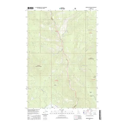
2017 Map of Indian Mountain
USGS Topo · Published 2017About this map
The Little Salmon River carves a deep central corridor through this portion of the Payette National Forest, defining the rugged boundary between Adams and Idaho counties. This 2017 survey reveals a landscape primarily dedicated to timber management and wilderness recreation, where high-elevation landmarks like Indian Mountain and the Grass Mountains tower over the drainage basins. Settlement is sparse, represented by small locales such as Bear Wallow and Round Valley in the southwest. The transport network is comprised of forest service routes like Smokey Boulder Rd and Elk Lake Rd, which provide access to interior features including Hazard Falls and the high grazing lands of Hard Creek Meadows. The presence of Teepee Springs and numerous creeks like Fall Creek and Boulder Creek emphasizes the importance of water resources in this mountainous terrain.
Find a feature on this map
40 named features on this map. Tap any name to fly to it.
Don’t see what you’re looking for? This feature index may not catch every label — zoom into the map to look around manually.
Map Details
Editions of this 2017 Indian Mountain Map
This is the sole edition of this map. No revisions or reprints were ever made.
Other maps of this area
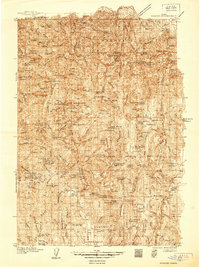
1938 · Riggins
USGS Topo · 1:96,000
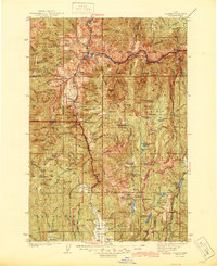
1945 · Riggins
USGS Topo · 1:125,000

1955 · Grangeville
USGS Topo · 1:250,000

1959 · Grangeville
USGS Topo · 1:250,000
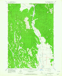
1963 · Bally Mountain
USGS Topo · 1:24,000
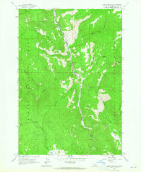
1963 · Indian Mountain
USGS Topo · 1:24,000
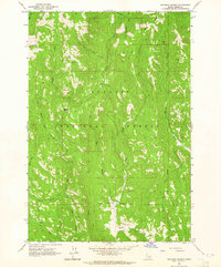
1963 · Railroad Saddle
USGS Topo · 1:24,000
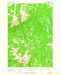
1963 · Hazard Lake
USGS Topo · 1:24,000
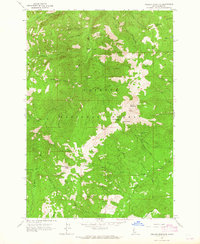
1963 · Pollock Mountain
USGS Topo · 1:24,000
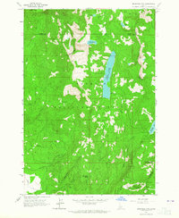
1963 · Brundage Mtn
USGS Topo · 1:24,000