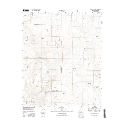
2013 Map of Indian Peaks East
USGS Topo · Published 2013About this map
Adobe Ranch serves as a primary human landmark in this section of the Gila National Forest, supported by its own Adobe Ranch Private Airport. The landscape is defined by an intricate drainage system including Springtime Canyon, Sawmill Canyon, and Adobe Canyon, which transition into the high elevations of the Indian Peaks. This 2013 survey illustrates the essential role of water management in this arid environment, evidenced by the distribution of stock tanks and wells. Named features such as Silver Dollar Tank, Little Windmill, and Corduroy Windmill are scattered throughout the territory, marking critical water points for ranching operations. The presence of State Hwy 163 in the northwestern corner provides the only major arterial access through this rugged portion of New Mexico.
Find a feature on this map
29 named features on this map. Tap any name to fly to it.
Don’t see what you’re looking for? This feature index may not catch every label — zoom into the map to look around manually.
Map Details
Editions of this 2013 Indian Peaks East Map
This is the sole edition of this map. No revisions or reprints were ever made.
Other maps of this area
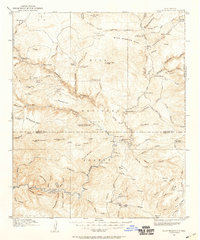
1911 · Alum Mountain
USGS Topo · 1:125,000
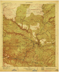
1913 · Alum Mountain
USGS Topo · 1:125,000
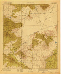
1918 · Pelona
USGS Topo · 1:125,000
1949 · Lookout Mountain
USGS Topo · 1:62,500

1954 · Tularosa
USGS Topo · 1:250,000

1954 · Clifton
USGS Topo · 1:250,000

1957 · Clifton
USGS Topo · 1:250,000

1958 · Clifton
USGS Topo · 1:250,000

1958 · Tularosa
USGS Topo · 1:250,000
1962 · Clifton
USGS Topo · 1:250,000