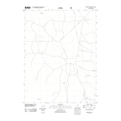
2011 Map of Indian Peaks
USGS Topo · Published 2011About this map
James Ranch sits at a crossroads of the high desert, where established backcountry routes meet against a backdrop of prominent summits. The drainage of Government Creek and its tributary, West Government Creek, dictates the flow of traffic across this arid landscape, funneling movement along Simpson Springs Rd and Erickson Pass Rd. These roads skirt the base of Davis Mountain to the north and the namesake Indian Peaks to the south, marking a transition between the open basin and the steep geography of the adjacent ranges.
Find a feature on this map
16 named features on this map. Tap any name to fly to it.
Don’t see what you’re looking for? This feature index may not catch every label — zoom into the map to look around manually.
Map Details
Editions of this 2011 Indian Peaks Map
This is the sole edition of this map. No revisions or reprints were ever made.
Other maps of this area

1885 · Sevier Desert
USGS Topo · 1:250,000
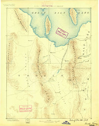
1885 · Tooele Valley
USGS Topo · 1:250,000

1953 · Tooele
USGS Topo · 1:250,000

1953 · Delta
USGS Topo · 1:250,000
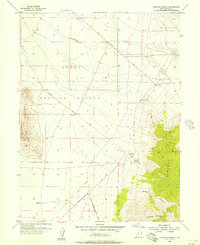
1955 · Simpson Springs
USGS Topo · 1:24,000
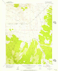
1955 · Indian Peaks
USGS Topo · 1:24,000
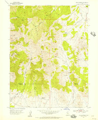
1955 · Indian Springs
USGS Topo · 1:24,000
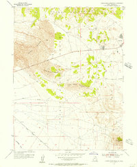
1955 · Camels Back Ridge NE
USGS Topo · 1:24,000
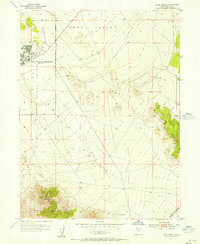
1955 · Davis Knolls
USGS Topo · 1:24,000
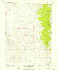
1955 · Coyote Springs
USGS Topo · 1:24,000