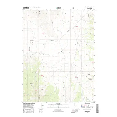
2017 Map of Indian Peaks
USGS Topo · Published 2017About this map
Indian Peaks anchor the southern reaches of the Simpson Mountains in this high-desert portion of Tooele County. The landscape is defined by its arid drainage systems, including Government Cr and Lee Cr, which descend toward the broad expanse of Skull Valley. While the lower elevations are marked by the long stretch of Simpson Springs Rd, the eastern edge rises into the protected timberlands of the Wasatch National Forest. Water sources are sparse but critical in this terrain, evidenced by the location of Winter Springs and Toms Spring. These features, alongside named landmarks like Davis Mtn and Lee Canyon, illustrate the rugged geography of the eastern Great Basin before it gives way to the salt flats. Numerous survey benchmarks and access trails such as Simpson Mountain Access T Rd indicate the area's use for resource management and backcountry navigation.
Find a feature on this map
43 named features on this map. Tap any name to fly to it.
Don’t see what you’re looking for? This feature index may not catch every label — zoom into the map to look around manually.
Map Details
Editions of this 2017 Indian Peaks Map
This is the sole edition of this map. No revisions or reprints were ever made.
Other maps of this area

1885 · Sevier Desert
USGS Topo · 1:250,000
1885 · Tooele Valley
USGS Topo · 1:250,000

1953 · Tooele
USGS Topo · 1:250,000

1953 · Delta
USGS Topo · 1:250,000
1955 · Simpson Springs
USGS Topo · 1:24,000
1955 · Indian Peaks
USGS Topo · 1:24,000
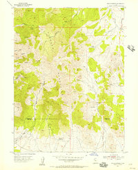
1955 · Indian Springs
USGS Topo · 1:24,000
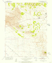
1955 · Camels Back Ridge NE
USGS Topo · 1:24,000
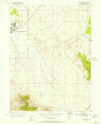
1955 · Davis Knolls
USGS Topo · 1:24,000
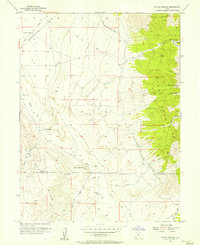
1955 · Coyote Springs
USGS Topo · 1:24,000