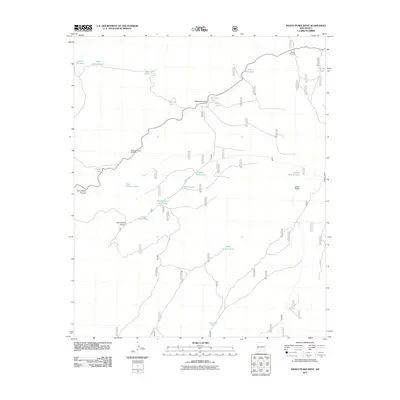
2011 Map of Indian Peaks West
USGS Topo · Published 2011About this map
Indian Peaks dominates the eastern horizon of this arid New Mexico landscape, where water management is the primary indicator of human activity. The map reveals an extensive system of named stock tanks and windmills essential for ranching in this high-desert environment, including Garcia Windmill and Railroad Canyon Windmill. These water sources, such as Whiskey Tank near Whiskey Canyon and Juan Tank, suggest a history of localized grazing and land use. Navigation through the terrain is facilitated by primitive routes like Fire Rd 520, connecting remote points like Homestead Tank and Last Chance Tank. The drainage patterns are defined by significant features such as Last Chance Canyon and Lost Chance Canyon, which underscore the precarious nature of water availability in the region during the early 21st century.
Find a feature on this map
24 named features on this map. Tap any name to fly to it.
Don’t see what you’re looking for? This feature index may not catch every label — zoom into the map to look around manually.
Map Details
Editions of this 2011 Indian Peaks West Map
This is the sole edition of this map. No revisions or reprints were ever made.
Other maps of this area
1911 · Alum Mountain
USGS Topo · 1:125,000
1913 · Alum Mountain
USGS Topo · 1:125,000
1918 · Pelona
USGS Topo · 1:125,000
1949 · Lookout Mountain
USGS Topo · 1:62,500

1954 · Tularosa
USGS Topo · 1:250,000

1954 · Clifton
USGS Topo · 1:250,000

1957 · Clifton
USGS Topo · 1:250,000

1958 · Clifton
USGS Topo · 1:250,000

1958 · Tularosa
USGS Topo · 1:250,000
1962 · Clifton
USGS Topo · 1:250,000