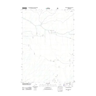
2011 Map of Indian Spring
USGS Topo · Published 2011About this map
The Pryor Mountains define this high-country landscape in Carbon County, where a network of seasonal drainages and isolated cabins mark the terrain. Human presence is sparse, centered on small outposts like Bainbridge Cabin and Graham Cabin, likely used for ranching or forest management. The geography is dominated by the westward flow of Sage Creek, which is supported by tributaries such as Summit Creek and the localized Ingram Spring. Transport is limited to rugged paths and Forest Rte 73, which provides access to the Sage Creek Campground area. This map reveals the drainage patterns of Piney Creek and Bear Creek, illustrating the remote nature of the region before more modern development reached these higher elevations.
Find a feature on this map
10 named features on this map. Tap any name to fly to it.
Don’t see what you’re looking for? This feature index may not catch every label — zoom into the map to look around manually.
Map Details
Editions of this 2011 Indian Spring Map
This is the sole edition of this map. No revisions or reprints were ever made.
Other maps of this area
1954 · Billings
USGS Topo · 1:250,000
1957 · Billings
USGS Topo · 1:250,000
1958 · Billings
USGS Topo · 1:250,000
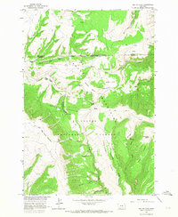
1964 · Big Ice Cave
USGS Topo · 1:24,000
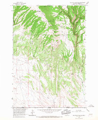
1964 · Red Pryor Mountain
USGS Topo · 1:24,000
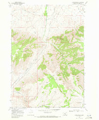
1967 · Castle Rocks
USGS Topo · 1:24,000
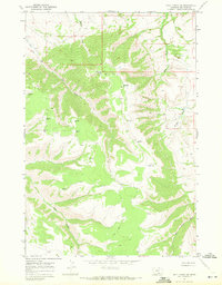
1967 · Deep Creek SW
USGS Topo · 1:24,000
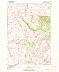
1967 · Section House Draw
USGS Topo · 1:24,000
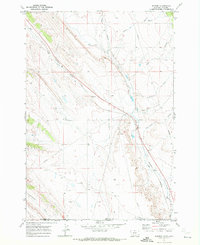
1969 · Warren
USGS Topo · 1:24,000
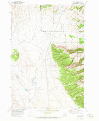
1969 · Bowler
USGS Topo · 1:24,000