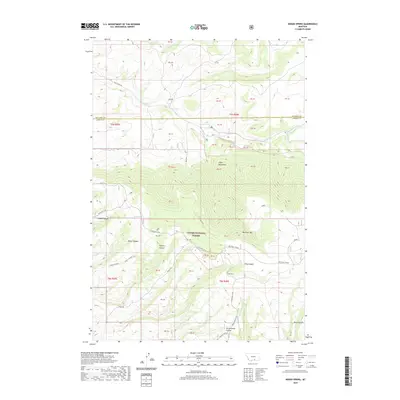
2020 Map of Indian Spring
USGS Topo · Published 2020About this map
Custer National Forest dominates the landscape of the Pryor Mountains on the border of Big Horn and Carbon County. This high-elevation terrain is defined by a network of drainage systems and primitive routes that speak to the area's grazing and timber history. Major landforms like Big Pryor Mtn and the Red Pryor Divide overlook deep incisions such as Inferno Canyon and Timber Canyon. Water remains the most critical resource in this arid environment, marked by isolated points like Indian Spring, Ingram Spring, and Angus Spring. A complex system of historical access paths, including the Stockman Trail, King Trail, and Miller Trail, winds through the canyons and over the ridges, tracing the movement of livestock and forest travelers across the mountain front.
Find a feature on this map
27 named features on this map. Tap any name to fly to it.
Don’t see what you’re looking for? This feature index may not catch every label — zoom into the map to look around manually.
Map Details
Editions of this 2020 Indian Spring Map
This is the sole edition of this map. No revisions or reprints were ever made.
Other maps of this area
1954 · Billings
USGS Topo · 1:250,000
1957 · Billings
USGS Topo · 1:250,000
1958 · Billings
USGS Topo · 1:250,000
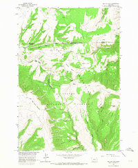
1964 · Big Ice Cave
USGS Topo · 1:24,000
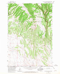
1964 · Red Pryor Mountain
USGS Topo · 1:24,000
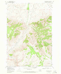
1967 · Castle Rocks
USGS Topo · 1:24,000
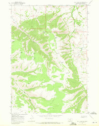
1967 · Deep Creek SW
USGS Topo · 1:24,000
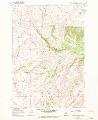
1967 · Section House Draw
USGS Topo · 1:24,000
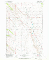
1969 · Warren
USGS Topo · 1:24,000
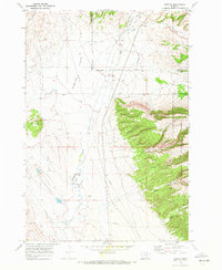
1969 · Bowler
USGS Topo · 1:24,000