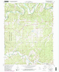
1978 Map of Indian Springs
USGS Topo · Published 1985About this map
The Meramec River winds through this section of Crawford County, carving a valley defined by prominent crossings and riverfront access points like Scott Ford and Klein Ford. Settlement patterns follow the high ground and the corridor of the Burlington Northern railroad, which skirts the southern reaches of the map near Keysville. The landscape is a mix of conservation and rural development, with the Woodson K Woods State Memorial Wildlife Area occupying a significant portion of the western terrain.
Find a feature on this map
31 named features on this map. Tap any name to fly to it.
Don’t see what you’re looking for? This feature index may not catch every label — zoom into the map to look around manually.
Map Details
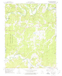
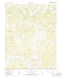
Editions of this 1978 Indian Springs Map
3 editions found
Other maps of this area

1903 · Sullivan
USGS Topo · 1:125,000

1928 · Meramec Spring
USGS Topo · 1:62,500

1932 · Steelville
USGS Topo · 1:48,000

1933 · Steelville
USGS Topo · 1:62,500

1934 · Redbird
USGS Topo · 1:62,500

1937 · Steelville
USGS Topo · 1:62,500

1938 · Redbird
USGS Topo · 1:62,500

1948 · Cuba
USGS Topo · 1:24,000

1948 · Leasburg
USGS Topo · 1:24,000

1949 · Saint Louis
USGS Topo · 1:250,000