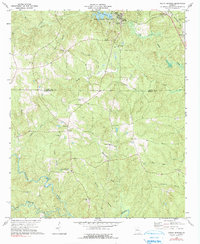
1973 Map of Indian Springs
USGS Topo · Published 1991About this map
Indian Springs State Park anchors the northern portion of this 1973 survey, preserving a landscape where the mineral springs drew visitors long before the establishment of the surrounding towns. The boundary between Butts and Monroe Counties bisects the terrain, which is defined by the winding course of the Towaliga River and its numerous tributaries like Eightmile Creek and Rocky Creek. The settlement pattern is distinctly rural, marked by a high concentration of community landmarks such as Mt Olive Ch, Pleasant Grove Ch, and Antioch Ch. In the northeast, the Southern railroad line passes through Flovilla and the small settlement at Sandy, illustrating the historical importance of rail transport to these Georgia communities. This map documents a quiet era of agricultural and small-town life, preserving the locations of family burial grounds like China Grove Cem and Webb Cem alongside the slow-moving river landscape.
Find a feature on this map
41 named features on this map. Tap any name to fly to it.
Don’t see what you’re looking for? This feature index may not catch every label — zoom into the map to look around manually.
Map Details
Editions of this 1973 Indian Springs Map
2 editions found
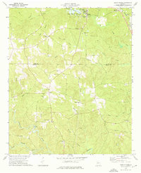
Other maps of this area

1951 · Forsyth
USGS Topo · 1:62,500

1951 · Barnesville
USGS Topo · 1:62,500

1953 · Atlanta
USGS Topo · 1:250,000

1953 · Athens
USGS Topo · 1:250,000

1957 · Atlanta
USGS Topo · 1:250,000

1958 · Athens
USGS Topo · 1:250,000

1958 · Atlanta
USGS Topo · 1:250,000

1959 · Athens
USGS Topo · 1:250,000

1963 · Athens
USGS Topo · 1:250,000

1964 · Lloyd Shoals Dam
USGS Topo · 1:24,000