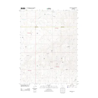
2013 Map of Indian Valley
USGS Topo · Published 2013About this map
Indian Valley and the high ridges of Northwestern Colorado define this landscape at the border of Moffat and Rio Blanco counties. The terrain is marked by an intricate network of drainage systems, including the seasonally active Twin Wash and Deep Channel Creek. These watercourses have carved numerous named landforms such as Colorow Gulch and Rimrock Gulch into the plateau. Standing as a prominent landmark, Colorow Mountain overlooks the surrounding complex of draws and ridges. Local transit and access to these remote areas are facilitated by unpaved routes like CO Road 77 and CO Road 71, which navigate the elevation changes near Horse Ridge. The map documents a classic Western landscape where the nomenclature reflects both topographic character and human interest, notably at Oil Well Gulch.
Find a feature on this map
30 named features on this map. Tap any name to fly to it.
Don’t see what you’re looking for? This feature index may not catch every label — zoom into the map to look around manually.
Map Details
Editions of this 2013 Indian Valley Map
This is the sole edition of this map. No revisions or reprints were ever made.
Other maps of this area
1907 · White River
USGS Topo · 1:125,000
1910 · White River
USGS Topo · 1:125,000

1954 · Vernal
USGS Topo · 1:250,000

1958 · Vernal
USGS Topo · 1:250,000
1958 · Citadel Plateau
USGS Topo · 1:62,500

1960 · Vernal
USGS Topo · 1:250,000
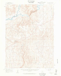
1960 · Elk Springs
USGS Topo · 1:62,500
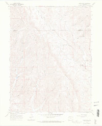
1966 · White Rock
USGS Topo · 1:24,000
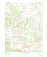
1966 · Smizer Gulch
USGS Topo · 1:24,000
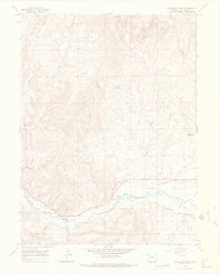
1966 · Buckskin Point
USGS Topo · 1:24,000