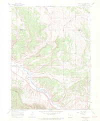
1966 Map of Smizer Gulch
USGS Topo · Published 1969About this map
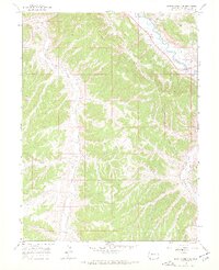
The White River meanders through this high-plateau landscape in the mid-1960s, cutting a deep valley south of Blair Mesa and the prominent Blair Mountain. This region of Northwestern Colorado is defined by a complex network of drainage systems, where seasonal watercourses like Smizer Gulch, Colorow Gulch, and Mc Andrews Gulch have carved the terrain. The map records the early industrial footprint in this remote area, marking a Pipeline crossing the river and several Drill Holes that indicate mineral or petroleum exploration. Evidence of local material extraction is seen at the Gravel Pit near the riverbank. Boundary lines across the northern portion of the sheet delineate the divide between Moffat County and Rio Blanco County, while various Jeep Trails provide the only access through the rugged draws like Deep Channel Creek and Kissinger Gulch.
Find a feature on this map
18 named features on this map. Tap any name to fly to it.
Don’t see what you’re looking for? This feature index may not catch every label — zoom into the map to look around manually.
Map Details
Editions of this 1966 Smizer Gulch Map
3 editions found
Other maps of this area

1907 · White River
USGS Topo · 1:125,000

1910 · White River
USGS Topo · 1:125,000

1954 · Vernal
USGS Topo · 1:250,000

1958 · Vernal
USGS Topo · 1:250,000

1958 · Citadel Plateau
USGS Topo · 1:62,500

1960 · Vernal
USGS Topo · 1:250,000

1960 · Elk Springs
USGS Topo · 1:62,500
1966 · White River City
USGS Topo · 1:24,000
1966 · Barcus Creek SE
USGS Topo · 1:24,000
1966 · Rough Gulch
USGS Topo · 1:24,000