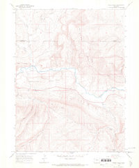
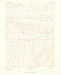
1966 Map of Rough Gulch
USGS Topo · Published 1969About this map
The White River carves through the high desert plateaus of the Piceance Basin in the mid-1960s, defining a landscape of prominent mesas and deep drainages. This territory, split by the Moffat Co Rio Blanco Co line, is marked by a network of resource infrastructure and family-named landmarks. Features like Stadtman Mesa and Blair Mesa rise above the river valley, while a long Pipeline and scattered Gravel Pits indicate industrial activity in this arid corridor.
Find a feature on this map
24 named features on this map. Tap any name to fly to it.
Don’t see what you’re looking for? This feature index may not catch every label — zoom into the map to look around manually.
Map Details
Editions of this 1966 Rough Gulch Map
3 editions found
Other maps of this area

1907 · Rangely
USGS Topo · 1:125,000

1907 · White River
USGS Topo · 1:125,000

1910 · White River
USGS Topo · 1:125,000

1910 · Rangely
USGS Topo · 1:125,000

1954 · Vernal
USGS Topo · 1:250,000

1958 · Vernal
USGS Topo · 1:250,000

1960 · Vernal
USGS Topo · 1:250,000

1960 · Elk Springs
USGS Topo · 1:62,500
1962 · Calamity Ridge
USGS Topo · 1:24,000
1962 · Divide Creek
USGS Topo · 1:24,000