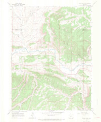
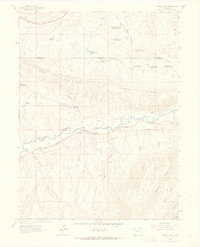
1966 Map of Rough Gulch
USGS Topo · Published 1969About this map
The White River carves a deep valley through the northwest Colorado landscape, defining the geographic character of this 1960s survey. To the north, the terrain is dominated by the high elevations of Pinyon Ridge and the Coal Ridge, while the south is marked by the broad expanse of Stadtman Mesa. The presence of several long-distance pipelines crossing the river and mesas indicates the region's role in the mid-century energy infrastructure, connecting isolated mountain resources to distant markets.
Find a feature on this map
27 named features on this map. Tap any name to fly to it.
Don’t see what you’re looking for? This feature index may not catch every label — zoom into the map to look around manually.
Map Details
Editions of this 1966 Rough Gulch Map
3 editions found
Other maps of this area

1907 · Rangely
USGS Topo · 1:125,000

1907 · White River
USGS Topo · 1:125,000

1910 · White River
USGS Topo · 1:125,000

1910 · Rangely
USGS Topo · 1:125,000

1954 · Vernal
USGS Topo · 1:250,000

1958 · Vernal
USGS Topo · 1:250,000

1960 · Vernal
USGS Topo · 1:250,000

1960 · Elk Springs
USGS Topo · 1:62,500
1962 · Calamity Ridge
USGS Topo · 1:24,000
1962 · Divide Creek
USGS Topo · 1:24,000