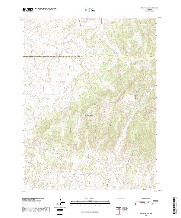
2022 Map of Indian Valley
USGS Topo · Published 2022About this map
Indian Valley and the surrounding high country of Rio Blanco County are defined by a complex network of seasonal drainages and topographic landmarks. The landscape is dominated by the prominent mass of Colorow Mtn and the long spine of Horse Ridge, which serve as natural anchors for the numerous draws and gulches that carve the terrain. Water features like Deep Channel Cr and Twin Wash highlight the hydraulic patterns of this arid region, where surface water is concentrated in narrow corridors.
Find a feature on this map
27 named features on this map. Tap any name to fly to it.
Don’t see what you’re looking for? This feature index may not catch every label — zoom into the map to look around manually.
Map Details
Editions of this 2022 Indian Valley Map
This is the sole edition of this map. No revisions or reprints were ever made.
Other maps of this area

1907 · White River
USGS Topo · 1:125,000

1910 · White River
USGS Topo · 1:125,000

1954 · Vernal
USGS Topo · 1:250,000

1958 · Vernal
USGS Topo · 1:250,000

1958 · Citadel Plateau
USGS Topo · 1:62,500

1960 · Vernal
USGS Topo · 1:250,000

1960 · Elk Springs
USGS Topo · 1:62,500
1966 · White Rock
USGS Topo · 1:24,000
1966 · Smizer Gulch
USGS Topo · 1:24,000
1966 · Buckskin Point
USGS Topo · 1:24,000