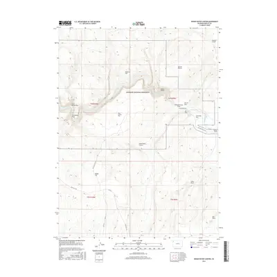
2016 Map of Indian Water Canyon
USGS Topo · Published 2016About this map
Dinosaur National Monument defines this landscape in Moffat County, where the Yampa River winds through high-altitude terrain. The topography is marked by dramatic elevation changes, notably at The Steps and the descent of Vale of Tears. This 2016 survey documents the intricate network of canyons and draws that define the region, including Indian Water Canyon and Thanksgiving Gorge. Sparse water sources like Bill White Spring and Dohlins Spring appear alongside primitive routes such as Old Chuck Wagon Rd and Deer Valley Rd. Centered on Deerlodge Park, the map illustrates a landscape of high plateaus like East Cactus Flat and Klauson Pasture intersected by deep drainage systems like Calico Draw and Sawmill Canyon.
Find a feature on this map
31 named features on this map. Tap any name to fly to it.
Don’t see what you’re looking for? This feature index may not catch every label — zoom into the map to look around manually.
Map Details
Editions of this 2016 Indian Water Canyon Map
This is the sole edition of this map. No revisions or reprints were ever made.
Other maps of this area
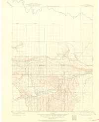
1907 · Rangely
USGS Topo · 1:125,000
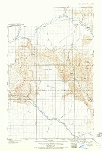
1907 · White River
USGS Topo · 1:125,000
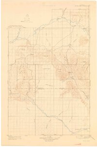
1910 · White River
USGS Topo · 1:125,000
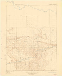
1910 · Rangely
USGS Topo · 1:125,000

1954 · Vernal
USGS Topo · 1:250,000

1958 · Vernal
USGS Topo · 1:250,000

1960 · Vernal
USGS Topo · 1:250,000
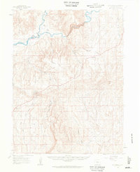
1960 · Elk Springs
USGS Topo · 1:62,500
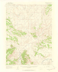
1960 · Lone Mountain
USGS Topo · 1:62,500
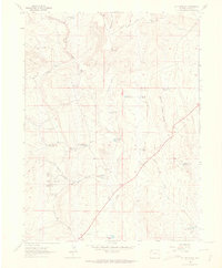
1962 · M F Mountain
USGS Topo · 1:24,000