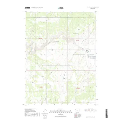
2019 Map of Indian Water Canyon
USGS Topo · Published 2019About this map
The Yampa River carves through the heart of Dinosaur National Monument in this high-desert portion of Moffat County. The landscape is defined by its dramatic drainage systems and plateau flats, featuring evocatively named terrain such as the Vale of Tears, Thanksgiving Gorge, and The Steps. Human presence is sparse, centered on seasonal grazing land at Klauson Pasture and the recreational gateway of Deerlodge Park, where the Dinosaur Park Svc Rd provides access to the river's edge.
Find a feature on this map
28 named features on this map. Tap any name to fly to it.
Don’t see what you’re looking for? This feature index may not catch every label — zoom into the map to look around manually.
Map Details
Editions of this 2019 Indian Water Canyon Map
This is the sole edition of this map. No revisions or reprints were ever made.
Other maps of this area
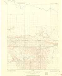
1907 · Rangely
USGS Topo · 1:125,000
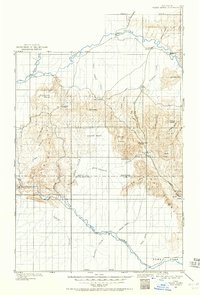
1907 · White River
USGS Topo · 1:125,000
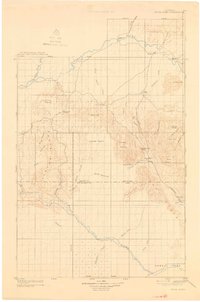
1910 · White River
USGS Topo · 1:125,000
1910 · Rangely
USGS Topo · 1:125,000

1954 · Vernal
USGS Topo · 1:250,000

1958 · Vernal
USGS Topo · 1:250,000

1960 · Vernal
USGS Topo · 1:250,000
1960 · Elk Springs
USGS Topo · 1:62,500
1960 · Lone Mountain
USGS Topo · 1:62,500
1962 · M F Mountain
USGS Topo · 1:24,000