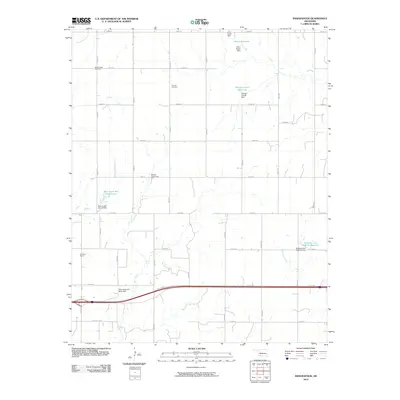
2010 Map of Indianapolis
USGS Topo · Published 2010About this map
Agricultural lands and water management systems define this section of Custer County, dominated by the winding course of Bear Creek and its associated flood control structures. The landscape is structured by a rigorous grid of section line roads, including Rte 66 Hwy, which cuts across the southern portion of the quadrangle. For those researching local genealogy or civic life, the map preserves the locations of rural landmarks such as Mount Hope Cemetery, Summit Cemetery, and the Red Rock School. The area's reliance on water resources is evident in the numerous small reservoirs and named dams, including the George Cornell Reservoir and the Bozeman and McBride Reservoir. These features, along with the Bellview Community Hall, reveal a community organized around shared infrastructure and local gathering points within the wide Oklahoma plains.
Find a feature on this map
37 named features on this map. Tap any name to fly to it.
Don’t see what you’re looking for? This feature index may not catch every label — zoom into the map to look around manually.
Map Details
Editions of this 2010 Indianapolis Map
This is the sole edition of this map. No revisions or reprints were ever made.
Other maps of this area

1955 · Clinton
USGS Topo · 1:250,000

1956 · Cordell
USGS Topo · 1:62,500

1957 · Clinton
USGS Topo · 1:250,000

1957 · Clinton
USGS Topo · 1:62,500

1961 · Eakly
USGS Topo · 1:62,500

1964 · Weatherford
USGS Topo · 1:62,500

1976 · Clinton SE
USGS Topo · 1:24,000

1976 · Clinton SW
USGS Topo · 1:24,000

1976 · Clinton NW
USGS Topo · 1:24,000

1976 · Clinton NE
USGS Topo · 1:24,000