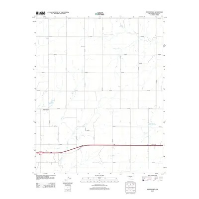
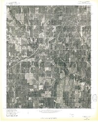
2012 Map of Indianapolis
USGS Topo · Published 2012About this map
The unincorporated settlement of Indianapolis occupies a high point between the drainages of Bear Cr and Turtle Cr in Custer County. This rural landscape is defined by its agricultural grid and a series of water management sites, including the George Cornell Reservoir and the Bozeman and McBride Reservoir. The distribution of burial grounds such as Mt Hope Cem, Summit Cem, and Newton Cem reveals the historical placement of rural communities that grew up around these prairie crossroads. A major east-west transportation corridor and its associated Frontage Rd cut across the southern portion of the quadrangle, contrasting the modern speed of travel with the slower-paced network of county section lines like E0980 Rd and N2330 Rd that continue to serve the surrounding farms.
Find a feature on this map
33 named features on this map. Tap any name to fly to it.
Don’t see what you’re looking for? This feature index may not catch every label — zoom into the map to look around manually.
Map Details
Editions of this 2012 Indianapolis Map
This is the sole edition of this map. No revisions or reprints were ever made.
Other maps of this area

1955 · Clinton
USGS Topo · 1:250,000
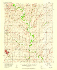
1956 · Cordell
USGS Topo · 1:62,500

1957 · Clinton
USGS Topo · 1:250,000
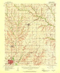
1957 · Clinton
USGS Topo · 1:62,500
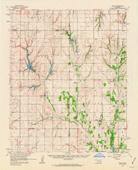
1961 · Eakly
USGS Topo · 1:62,500
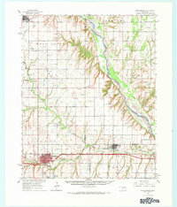
1964 · Weatherford
USGS Topo · 1:62,500
1976 · Clinton SE
USGS Topo · 1:24,000
1976 · Clinton SW
USGS Topo · 1:24,000
1976 · Clinton NW
USGS Topo · 1:24,000
1976 · Clinton NE
USGS Topo · 1:24,000