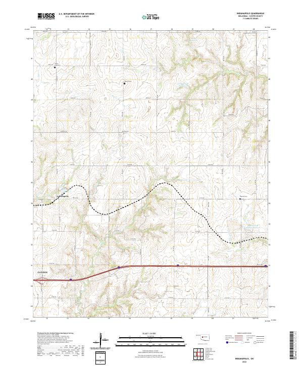
2022 Map of Indianapolis
USGS Topo · Published 2022About this map
Indianapolis sits at the heart of this Custer County landscape, where the agricultural grid meets the historic path of Rte 66 Hwy. The terrain is defined by a network of seasonal drainages including Turtle Cr, Bear Cr, and Little Deep Cr, many of which have been dammed to create local water resources like the George Cornell Reservoir and the Bozeman and McBride Reservoir. Evidence of the area's long-standing rural community is preserved in several burial grounds, including Mount Hope Cem, Summit Cem, and Newton Cem. In the southwestern corner, the outskirts of Clinton begin to encroach on the township lines of t12n r16w, marking the transition from the open prairie of t13n r16w to more concentrated development near the highway corridor.
Find a feature on this map
38 named features on this map. Tap any name to fly to it.
Don’t see what you’re looking for? This feature index may not catch every label — zoom into the map to look around manually.
Map Details
Editions of this 2022 Indianapolis Map
This is the sole edition of this map. No revisions or reprints were ever made.
Other maps of this area

1955 · Clinton
USGS Topo · 1:250,000

1956 · Cordell
USGS Topo · 1:62,500

1957 · Clinton
USGS Topo · 1:250,000

1957 · Clinton
USGS Topo · 1:62,500

1961 · Eakly
USGS Topo · 1:62,500

1964 · Weatherford
USGS Topo · 1:62,500

1976 · Clinton SE
USGS Topo · 1:24,000

1976 · Clinton SW
USGS Topo · 1:24,000

1976 · Clinton NW
USGS Topo · 1:24,000

1976 · Clinton NE
USGS Topo · 1:24,000