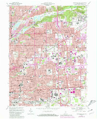
1967 Map of Indianapolis East
USGS Topo · Published 1981About this map
Indianapolis expands eastward in this late-century survey, revealing a landscape defined by rapid suburban growth and significant federal footprints. The massive Fort Benjamin Harrison Military Reservation and the U S Naval Reservation anchor the eastern sector, while the Indianapolis Corp Bdy marks the city's sprawl toward Lawrence. This era of development is etched in the dense network of schools and churches, such as Arlington High School and St Lawrence Church, serving newly established neighborhoods like Avalon Hills and Ivanhoe.
Find a feature on this map
103 named features on this map. Tap any name to fly to it.
Don’t see what you’re looking for? This feature index may not catch every label — zoom into the map to look around manually.
Map Details
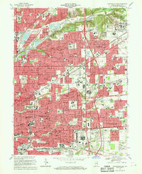
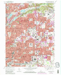
Editions of this 1967 Indianapolis East Map
Other maps of this area

1948 · Indianapolis East
USGS Topo · 1:24,000

1948 · Maywood
USGS Topo · 1:24,000

1948 · Beech Grove
USGS Topo · 1:24,000

1948 · Indianapolis West
USGS Topo · 1:24,000

1952 · Cumberland
USGS Topo · 1:24,000

1952 · Fishers
USGS Topo · 1:24,000

1952 · Carmel
USGS Topo · 1:24,000

1952 · Mc Cordsville
USGS Topo · 1:24,000

1953 · Acton
USGS Topo · 1:24,000

1953 · Cincinnati
USGS Topo · 1:250,000
Featured Places
- Indianapolis, IN
- Lawrence, Indianapolis
- Warren Park, Indianapolis
- Dawnbury, Indianapolis
- Brendonwood, Indianapolis