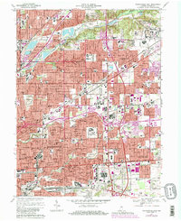
1967 Map of Indianapolis East
USGS Topo · Published 1981About this map
The Fort Benjamin Harrison Military Reservation dominates the northeastern corner of this Marion County landscape, anchoring a period of significant mid-century suburban expansion. The sprawling eastern suburbs of Indianapolis are meticulously detailed, showing the dense grid of residential streets alongside the major industrial and transit corridors of the Norfolk and Western and Conrail railroads. These lines intersect with the Indianapolis Corp Bdy, marking the edge of the city’s post-war growth into communities like Warren Park and Lawrence.
Find a feature on this map
93 named features on this map. Tap any name to fly to it.
Don’t see what you’re looking for? This feature index may not catch every label — zoom into the map to look around manually.
Map Details
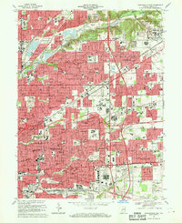
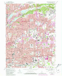
Editions of this 1967 Indianapolis East Map
Other maps of this area

1948 · Indianapolis East
USGS Topo · 1:24,000

1948 · Maywood
USGS Topo · 1:24,000

1948 · Beech Grove
USGS Topo · 1:24,000

1948 · Indianapolis West
USGS Topo · 1:24,000

1952 · Cumberland
USGS Topo · 1:24,000

1952 · Fishers
USGS Topo · 1:24,000

1952 · Carmel
USGS Topo · 1:24,000

1952 · Mc Cordsville
USGS Topo · 1:24,000

1953 · Acton
USGS Topo · 1:24,000

1953 · Cincinnati
USGS Topo · 1:250,000
Featured Places
- Indianapolis, IN
- Lawrence, Indianapolis
- Warren Park, Indianapolis
- Dawnbury, Indianapolis
- Brendonwood, Indianapolis