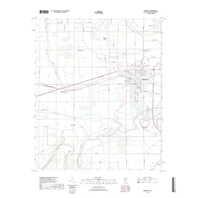
2018 Map of Indianola
USGS Topo · Published 2018About this map
The city of Indianola serves as the central hub of this Sunflower County landscape, where the residential street grid meets a complex system of waterways and agricultural drainage. The Big Sunflower River winds through the southern and eastern portions of the quadrangle, joined by a network of bayous including Beaver Dam Bayou, Shepherds Bayou, and Wildcat Bayou. These water features define the local topography, historically supporting the rich Delta farmland that surrounds the town. To the west, the smaller settlement of Heathman sits along the roadway and rail corridor that connects the region.
Find a feature on this map
96 named features on this map. Tap any name to fly to it.
Don’t see what you’re looking for? This feature index may not catch every label — zoom into the map to look around manually.
Map Details
Editions of this 2018 Indianola Map
This is the sole edition of this map. No revisions or reprints were ever made.
Other maps of this area

1934 · Cleveland
USGS Topo · 1:62,500

1939 · Tralake
USGS Topo · 1:62,500

1939 · Choctaw
USGS Topo · 1:62,500

1940 · Baird
USGS Topo · 1:62,500

1940 · Cleveland
USGS Topo · 1:62,500

1953 · Greenwood
USGS Topo · 1:250,000

1956 · Greenwood
USGS Topo · 1:250,000

1965 · Inverness
USGS Topo · 1:24,000

1965 · Indianola
USGS Topo · 1:24,000

1965 · Kinlock
USGS Topo · 1:24,000