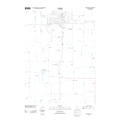
2013 Map of Indianola
USGS Topo · Published 2013About this map
The southern portion of Indianola and the surrounding Warren County countryside are defined by the winding course of the S River and the recreational hub at Lake Ahquabi. This 2013 landscape shows a clear division between the residential street grid and the outlying agricultural and conservation areas. The Warren County Fairgrounds serves as a prominent community landmark, while aviation needs are met at Nash Field Indianola Airport. To the south, Lake Ahquabi Campground and Camp Wesley Woods anchor a significant green space along Squaw Cr. Smaller settlements like Ottawa and Hedgewood Landing sit amidst the creeks and tributaries, including Otter Cr and Steels Br, illustrating the historical pattern of rural development focused near water sources and transit corridors.
Find a feature on this map
122 named features on this map. Tap any name to fly to it.
Don’t see what you’re looking for? This feature index may not catch every label — zoom into the map to look around manually.
Map Details
Editions of this 2013 Indianola Map
This is the sole edition of this map. No revisions or reprints were ever made.
Other maps of this area

1910 · Milo
USGS Topo · 1:62,500

1918 · Chariton
USGS Topo · 1:62,500

1931 · Indianola
USGS Topo · 1:62,500

1950 · New Virginia
USGS Topo · 1:62,500

1952 · New Virginia
USGS Topo · 1:62,500

1954 · Des Moines
USGS Topo · 1:250,000

1956 · Des Moines
USGS Topo · 1:250,000

1957 · Des Moines
USGS Topo · 1:250,000

1965 · Milo
USGS Topo · 1:24,000
1965 · Hartford
USGS Topo · 1:24,000