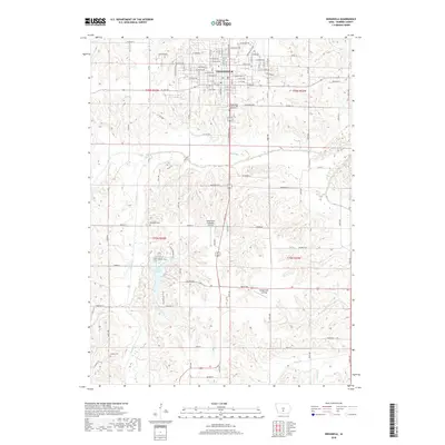
2018 Map of Indianola
USGS Topo · Published 2018About this map
Indianola serves as the primary hub of this Warren County landscape, with its residential grid extending south toward the winding banks of the S River. This 2018 survey documents a region defined by its water and recreation, anchored by Lake Ahquabi to the southwest. The lake is surrounded by the Lake Ahquabi Trail, while the Summerset Trail cuts through the northern reaches of the township near Steels Br.
Find a feature on this map
64 named features on this map. Tap any name to fly to it.
Don’t see what you’re looking for? This feature index may not catch every label — zoom into the map to look around manually.
Map Details
Editions of this 2018 Indianola Map
This is the sole edition of this map. No revisions or reprints were ever made.
Other maps of this area

1910 · Milo
USGS Topo · 1:62,500

1918 · Chariton
USGS Topo · 1:62,500

1931 · Indianola
USGS Topo · 1:62,500

1950 · New Virginia
USGS Topo · 1:62,500

1952 · New Virginia
USGS Topo · 1:62,500

1954 · Des Moines
USGS Topo · 1:250,000

1956 · Des Moines
USGS Topo · 1:250,000

1957 · Des Moines
USGS Topo · 1:250,000

1965 · Milo
USGS Topo · 1:24,000
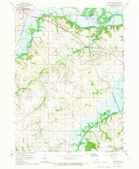
1965 · Hartford
USGS Topo · 1:24,000