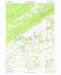
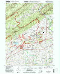
1947 Map of Indiantown Gap
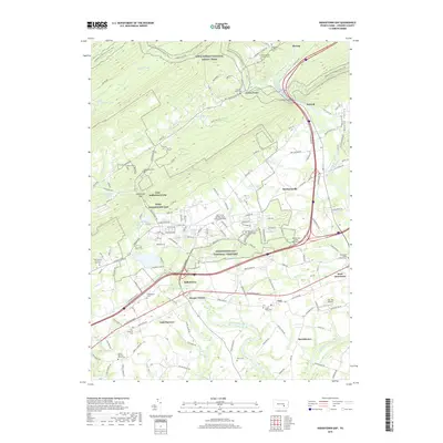
USGS Topo · Published 1964About this map
Indiantown Gap Military Reservation dominates this landscape, showing a dense network of military facilities and ranges situated between Second Mountain and Blue Mountain. Published just after World War II, the map documents the massive installation at a peak of its 20th-century footprint, including the Cold Spring Military Reservation and the prominent State Memorial Lake.
Find a feature on this map
38 named features on this map. Tap any name to fly to it.
Don’t see what you’re looking for? This feature index may not catch every label — zoom into the map to look around manually.
Map Details
Editions of this 1947 Indiantown Gap Map
2 editions found
Historical Maps of East Hanover Township Through Time
9 maps found
1947 Indiantown Gap
Lebanon County, PA
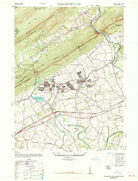
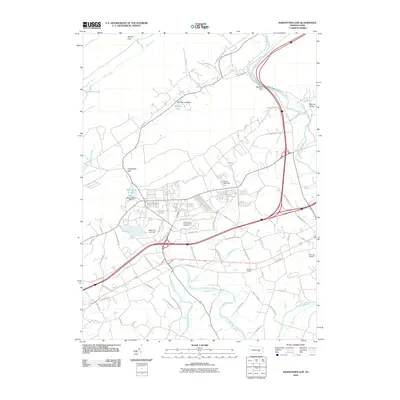
1969 Indiantown Gap
Lebanon County, PA
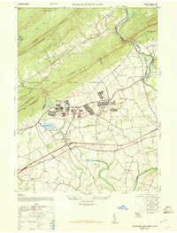
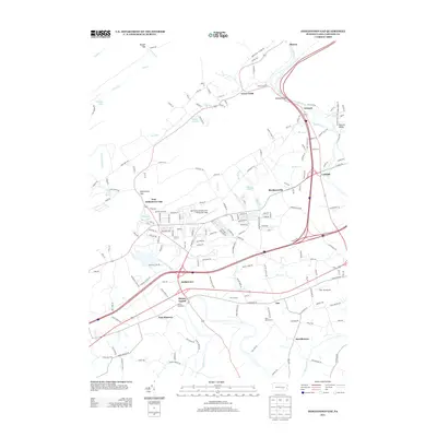
1977 Indiantown Gap
Lebanon County, PA
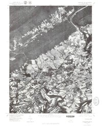
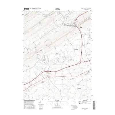
1999 Indiantown Gap
Lebanon County, PA
2010 Indiantown Gap
Lebanon County, PA
2013 Indiantown Gap
Lebanon County, PA
2016 Indiantown Gap
Lebanon County, PA
2019 Indiantown Gap
Lebanon County, PA
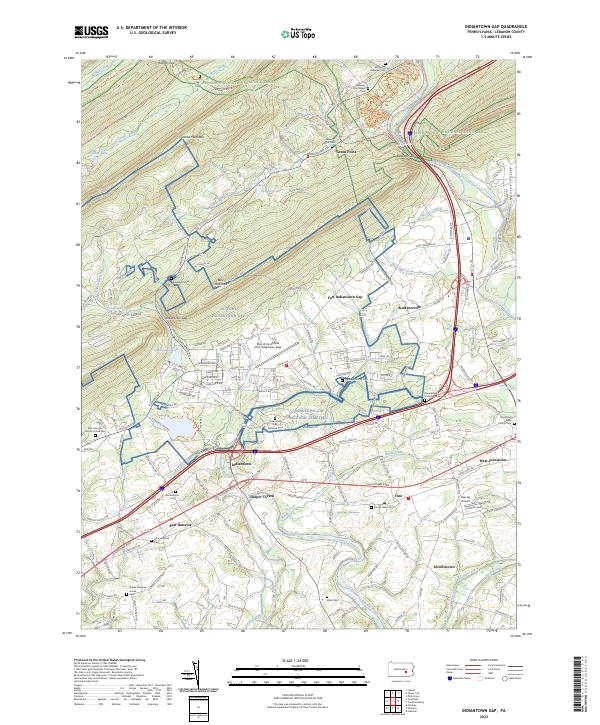
2023 Indiantown Gap
Lebanon County, PA
Featured Locations
- East Hanover Township, PA
- Swatara Township, PA
- Union Township, PA
- Indiantown, East Hanover Township
- McGillstown, East Hanover Township