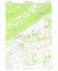
1969 Map of Indiantown Gap
USGS Topo · Published 1977About this map
Indiantown Gap Military Reservation dominates the center of this landscape, where the ridges of Blue Mountain and Second Mountain meet the Lebanon Valley. The map documents a complex infrastructure of training ranges and support facilities, including Marquette Lake and Indiantown Gap Station. To the south, the rural character of East Hanover is evident in a network of country roads and community anchors like Harper Tavern, Lickdale, and Ono.
Find a feature on this map
62 named features on this map. Tap any name to fly to it.
Don’t see what you’re looking for? This feature index may not catch every label — zoom into the map to look around manually.
Map Details
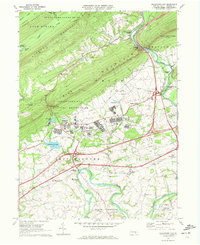
Editions of this 1969 Indiantown Gap Map
2 editions found
Other maps of this area

1891 · Lebanon
USGS Topo · 1:62,500

1892 · Lykens
USGS Topo · 1:62,500

1892 · Hummelstown
USGS Topo · 1:62,500

1892 · Pine Grove
USGS Topo · 1:62,500

1893 · Lykens
USGS Topo · 1:62,500

1893 · Lebanon
USGS Topo · 1:62,500

1899 · Lebanon
USGS Topo · 1:62,500

1924 · Hummelstown
USGS Topo · 1:62,500

1943 · Lebanon
USGS Topo · 1:62,500

1943 · Lykens
USGS Topo · 1:62,500
Featured Places
- East Hanover Township, PA
- Union Township, PA
- Swatara Township, PA
- McGillstown, East Hanover Township
- Indiantown, East Hanover Township