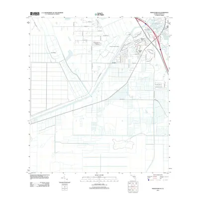
2012 Map of Indiantown SE
USGS Topo · Published 2012About this map
Arundel serves as a primary residential focal point in this southern Florida landscape, where the rectilinear grid of modern development meets the drainage-managed terrain of Martin County. The area is characterized by a mix of aviation and leisure spaces, including the Tropical Plantation Airport and localized green spaces such as Queens Park and Tropical Park. The geography is defined by subtle elevation changes like Green Ridge and the flow of Hog Cr, while the infrastructure is heavily influenced by a network of named roads like Sw Citrus Blvd and Sw Bridge Rd. To the northeast, the Mauvel Bridge and the locality of Thomas mark the intersection of transit corridors and waterways, reflecting the early 21st-century suburban and agricultural expansion in this part of the state.
Find a feature on this map
56 named features on this map. Tap any name to fly to it.
Don’t see what you’re looking for? This feature index may not catch every label — zoom into the map to look around manually.
Map Details
Editions of this 2012 Indiantown SE Map
This is the sole edition of this map. No revisions or reprints were ever made.
Other maps of this area

1948 · Palm City
USGS Topo · 1:24,000

1948 · Rood
USGS Topo · 1:24,000

1948 · St. Lucie Inlet
USGS Topo · 1:24,000

1948 · Gomez
USGS Topo · 1:24,000

1949 · Rood
USGS Topo · 1:24,000

1949 · Gomez
USGS Topo · 1:24,000

1950 · St. Lucie Inlet
USGS Topo · 1:24,000

1950 · Palm City
USGS Topo · 1:24,000

1953 · Indian Town SE
USGS Topo · 1:24,000

1953 · Indian Town NW
USGS Topo · 1:24,000