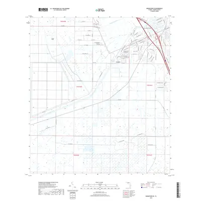
2018 Map of Indiantown SE
USGS Topo · Published 2018About this map
Arundel serves as a focal point in this portion of Martin County, where the engineered landscape of the Saint Lucie Canal and the Okeechobee Waterway dominates the geography. This region is defined by its massive water management and transportation corridors, including the Thomas Mauvel Bridge which carries traffic across the canal. The map reveals a transition from the structured residential street grids near the water, such as those along Sw Phipps Park Rd and Sw Gregor Way, to the more expansive agricultural and natural areas toward Green Ridge.
Find a feature on this map
79 named features on this map. Tap any name to fly to it.
Don’t see what you’re looking for? This feature index may not catch every label — zoom into the map to look around manually.
Map Details
Editions of this 2018 Indiantown SE Map
This is the sole edition of this map. No revisions or reprints were ever made.
Other maps of this area

1948 · Palm City
USGS Topo · 1:24,000

1948 · Rood
USGS Topo · 1:24,000

1948 · St. Lucie Inlet
USGS Topo · 1:24,000

1948 · Gomez
USGS Topo · 1:24,000

1949 · Rood
USGS Topo · 1:24,000

1949 · Gomez
USGS Topo · 1:24,000

1950 · St. Lucie Inlet
USGS Topo · 1:24,000

1950 · Palm City
USGS Topo · 1:24,000

1953 · Indian Town SE
USGS Topo · 1:24,000

1953 · Indian Town NW
USGS Topo · 1:24,000