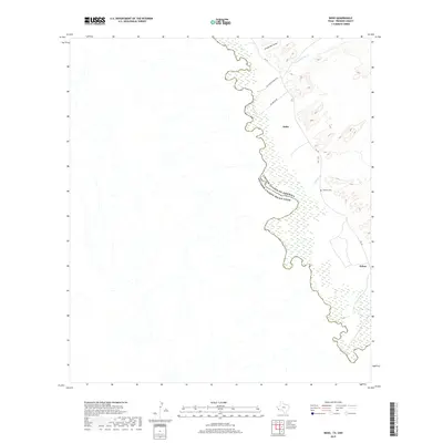
2019 Map of Indio
USGS Topo · Published 2019About this map
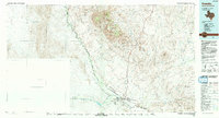
The Rio Grande snakes through this arid Presidio County landscape, serving as the international boundary between the United States of America and Estados Unidos Mexicanos. This 2019 survey documents a sparsely populated borderland where small settlements like Indio and Ochoa are connected by the winding path of Fm 170. The topography is defined by ephemeral drainages such as Arroyo Borracho, Las Corrientes Cr, and Spencer Cr that feed toward the river valley. Local history is anchored by the Spencer Cem and ranching access provided by El Campito Ranch Rd and Rio Bravo Rd. The map illustrates the isolated nature of these riverfront communities in the Chihuahuan Desert, highlighting the intersection of transit corridors and the natural river course.
Find a feature on this map
11 named features on this map. Tap any name to fly to it.
Don’t see what you’re looking for? This feature index may not catch every label — zoom into the map to look around manually.
Map Details
Editions of this 2019 Indio Map
This is the sole edition of this map. No revisions or reprints were ever made.
Other maps of this area

1896 · Ruidosa
USGS Topo · 1:125,000

1896 · Shafter
USGS Topo · 1:125,000

1959 · Presidio
USGS Topo · 1:250,000

1965 · Presidio
USGS Topo · 1:250,000

1966 · Adobes
USGS Topo · 1:24,000
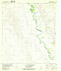
1979 · Indio
USGS Topo · 1:24,000
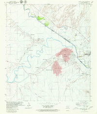
1979 · Presidio West
USGS Topo · 1:24,000

1980 · Arroyo Melado
USGS Topo · 1:24,000
1985 · Presidio
USGS Topo · 1:100,000
1993 · Presidio
USGS Topo · 1:100,000