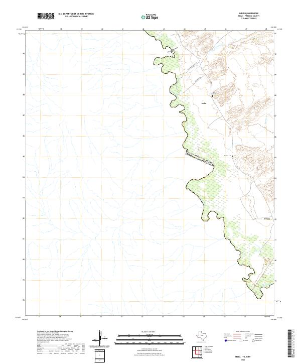
2022 Map of Indio
USGS Topo · Published 2022About this map
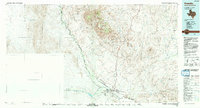
The Rio Grande serves as the international boundary for this desert landscape in Presidio County, marking the border between the United States and Mexico. The small settlement of Indio sits along the FM 170 corridor, flanked by drainages like Arroyo Borracho and Las Corrientes Cr. This 2022 survey documents a sparsely populated ranching territory where local genealogy is anchored by sites like the Indio Ranch Cem and the Spencer Cem. To the southeast, the terrain shifts near the settlement of Ochoa, where Spencer Cr makes its way toward the river. The road network, including El Campito Ranch Rd and Rio Bravo Rd, reflects the modern pastoral life and land management of the Big Bend region, preserving the names of the families and ranching operations that have shaped this borderland.
Find a feature on this map
12 named features on this map. Tap any name to fly to it.
Don’t see what you’re looking for? This feature index may not catch every label — zoom into the map to look around manually.
Map Details
Editions of this 2022 Indio Map
This is the sole edition of this map. No revisions or reprints were ever made.
Other maps of this area

1896 · Ruidosa
USGS Topo · 1:125,000

1896 · Shafter
USGS Topo · 1:125,000

1959 · Presidio
USGS Topo · 1:250,000

1965 · Presidio
USGS Topo · 1:250,000

1966 · Adobes
USGS Topo · 1:24,000
1979 · Indio
USGS Topo · 1:24,000
1979 · Presidio West
USGS Topo · 1:24,000

1980 · Arroyo Melado
USGS Topo · 1:24,000
1985 · Presidio
USGS Topo · 1:100,000
1993 · Presidio
USGS Topo · 1:100,000