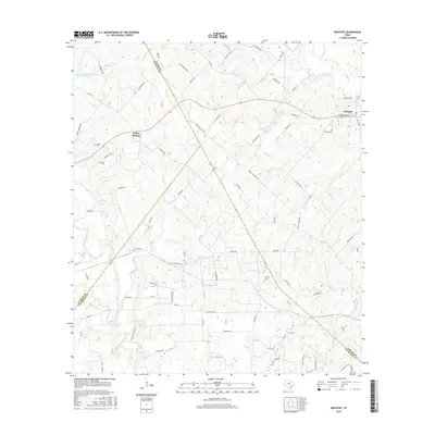
2016 Map of Industry
USGS Topo · Published 2016About this map
Industry and the surrounding Austin County countryside are defined by a complex drainage network where the West Fork of W Mill Cr and Sawmill Cr carve through the landscape. This 2016 survey shows the rural character of the region, anchored by the settlement at Willow Springs and a series of family and community burial grounds including Knolle Cem, Albert Cem, and Pagel Cem. The map illustrates a transition between the drainage basins of Cummins Creek to the west and the various branches of Post Oak Point Cr to the east.
Find a feature on this map
93 named features on this map. Tap any name to fly to it.
Don’t see what you’re looking for? This feature index may not catch every label — zoom into the map to look around manually.
Map Details
Editions of this 2016 Industry Map
This is the sole edition of this map. No revisions or reprints were ever made.
Other maps of this area

1919 · Fayettsville
USGS Topo · 1:62,500

1930 · Brenham
USGS Topo · 1:62,500

1953 · Seguin
USGS Topo · 1:250,000

1954 · Austin
USGS Topo · 1:250,000

1956 · Bellville
USGS Topo · 1:62,500

1956 · Brenham
USGS Topo · 1:62,500

1957 · Ellinger
USGS Topo · 1:24,000

1958 · Seguin
USGS Topo · 1:250,000

1958 · Industry
USGS Topo · 1:24,000

1958 · Greenvine
USGS Topo · 1:24,000