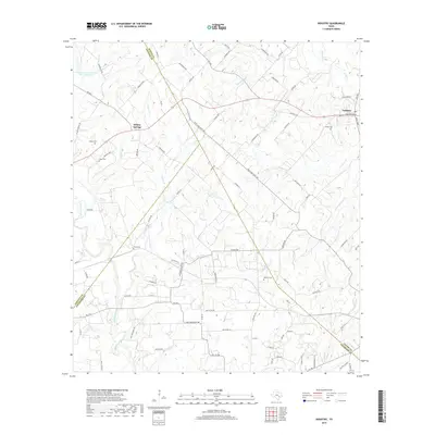
2019 Map of Industry
USGS Topo · Published 2019About this map
Industry and Willow Springs anchor this rural landscape where the borders of Austin, Fayette, and Colorado Counties converge. The terrain is defined by a dense network of seasonal and perennial waterways including Cummins Creek, Post Oak Point Cr, and Willow Br, which feed into local agricultural land. Genealogical researchers will find significant value in the distribution of family-named burial grounds across the countryside, such as Albert Cem, Pagel Cem, and Knolle Cem. The presence of the Soil Conservation Service Site 26 Reservoir in the northwest indicates modern water management practices in this cattle and farming region. While paved routes like FM 1291 and FM 954 provide primary access, a complex system of gravel and dirt roads such as Krebsville Rd and Dockal Rd preserves the historical footprints of earlier settlement patterns and farm-to-market connections.
Find a feature on this map
97 named features on this map. Tap any name to fly to it.
Don’t see what you’re looking for? This feature index may not catch every label — zoom into the map to look around manually.
Map Details
Editions of this 2019 Industry Map
This is the sole edition of this map. No revisions or reprints were ever made.
Other maps of this area

1919 · Fayettsville
USGS Topo · 1:62,500

1930 · Brenham
USGS Topo · 1:62,500

1953 · Seguin
USGS Topo · 1:250,000

1954 · Austin
USGS Topo · 1:250,000

1956 · Bellville
USGS Topo · 1:62,500

1956 · Brenham
USGS Topo · 1:62,500

1957 · Ellinger
USGS Topo · 1:24,000

1958 · Seguin
USGS Topo · 1:250,000

1958 · Industry
USGS Topo · 1:24,000

1958 · Greenvine
USGS Topo · 1:24,000