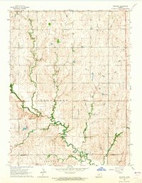
1964 Map of Industry
USGS Topo · Published 1965About this map
Chapman Creek meanders through the heart of this rural landscape along the boundary of Clay Co and Dickinson Co, defining a region shaped by small agricultural districts and township boundaries. The settlement of Industry sits near the southern edge, serving as a focal point for the surrounding farming community. Evidence of early 20th-century social infrastructure is visible through a network of rural schoolhouses and small houses of worship, including Tubbs Sch, Vinzant Sch, and Bethany Chapel.
Find a feature on this map
16 named features on this map. Tap any name to fly to it.
Don’t see what you’re looking for? This feature index may not catch every label — zoom into the map to look around manually.
Map Details
Editions of this 1964 Industry Map
2 editions found
Other maps of this area

1891 · Clay Center
USGS Topo · 1:125,000

1955 · Manhattan
USGS Topo · 1:250,000

1956 · Manhattan
USGS Topo · 1:250,000

1957 · Manhattan
USGS Topo · 1:250,000
1963 · Upland
USGS Topo · 1:24,000
1964 · Industry
USGS Topo · 1:24,000
1964 · Buckeye
USGS Topo · 1:24,000

1964 · Clay Center SW
USGS Topo · 1:24,000
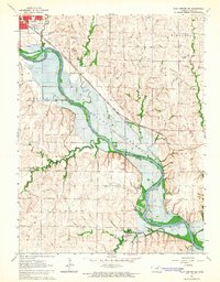
1964 · Clay Center SE
USGS Topo · 1:24,000
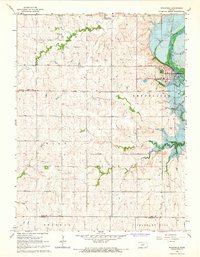
1964 · Wakefield
USGS Topo · 1:24,000