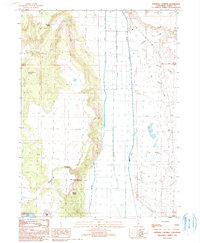
1990 Map of Infernal Caverns
USGS Topo · Published 1990About this map
The Infernal Caverns Battleground Memorial Monument stands as a focal point in this Modoc County landscape, marking the site of a 1867 conflict between the U.S. Army and local tribes. The geography is defined by a sharp contrast between the jagged breaks of Crooks Canyon and the valley floor where the South Fork Pit River has been extensively channeled. To the south, the Infernal Caverns themselves are situated near a small cluster of Graves, reflecting the area's difficult history.
Find a feature on this map
21 named features on this map. Tap any name to fly to it.
Don’t see what you’re looking for? This feature index may not catch every label — zoom into the map to look around manually.
Map Details
Editions of this 1990 Infernal Caverns Map
This is the sole edition of this map. No revisions or reprints were ever made.
Other maps of this area

1886 · Alturas
USGS Topo · 1:250,000

1892 · Alturas
USGS Topo · 1:250,000

1954 · Alturas
USGS Topo · 1:250,000

1958 · Alturas
USGS Topo · 1:250,000

1961 · Alturas
USGS Topo · 1:62,500

1962 · Alturas
USGS Topo · 1:250,000

1962 · Tule Mountain
USGS Topo · 1:24,000

1962 · Likely
USGS Topo · 1:62,500

1963 · Little Juniper Reservoir
USGS Topo · 1:24,000

1963 · Dorris Reservoir
USGS Topo · 1:24,000