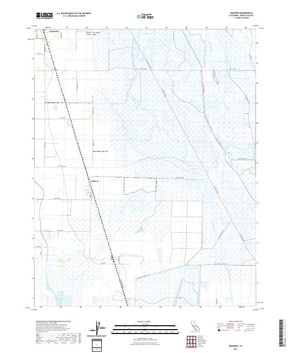
2021 Map of Ingomar
USGS Topo · Published 2021About this map
Ingomar and the southern outskirts of Gustine anchor this landscape within the San Joaquin Valley of Merced County. The terrain is defined by an intricate network of agricultural water management systems, including the Santa Fe Canal, Fremont Canal, and Eagle Ditch. These waterways, alongside larger features like Mud Slough and Los Banos Creek, trace the intensive irrigation history of the Central Valley.
Find a feature on this map
76 named features on this map. Tap any name to fly to it.
Don’t see what you’re looking for? This feature index may not catch every label — zoom into the map to look around manually.
Map Details
Editions of this 2021 Ingomar Map
This is the sole edition of this map. No revisions or reprints were ever made.
Other maps of this area

1917 · Newman
USGS Topo · 1:31,680

1918 · Stevinson
USGS Topo · 1:31,680

1918 · Gustine
USGS Topo · 1:31,680

1919 · Orestimba
USGS Topo · 1:62,500

1919 · San Luis Ranch
USGS Topo · 1:31,680

1919 · Ingomar
USGS Topo · 1:31,680

1920 · Pacheco Pass
USGS Topo · 1:62,500

1921 · Volta
USGS Topo · 1:31,680

1921 · Los Banos
USGS Topo · 1:31,680

1922 · San Luis Creek
USGS Topo · 1:31,680