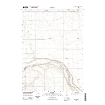
2017 Map of Initial Point
USGS Topo · Published 2017About this map
Initial Point marks a critical geographic anchor on this sheet, serving as the fundamental surveying origin for the Public Land Survey System across much of Idaho. The landscape is defined by the deep carving of the Snake River, which forms the boundary between Ada Co and Owyhee Co. This river corridor includes the significant drop at Swan Falls, where the terrain transitions sharply from the high plateau of the north into the river canyon. This area is characterized by a network of recreational and historical paths, including the Halverson Lake Trail and the Dedication Point Grade Trail. The presence of the Waldvogel Canal and Con Shea Basin reflects the region's relationship with water management and natural drainage, while the rectilinear road grid of the northern sections illustrates the orderly expansion of land divisions originating from the survey point.
Find a feature on this map
26 named features on this map. Tap any name to fly to it.
Don’t see what you’re looking for? This feature index may not catch every label — zoom into the map to look around manually.
Map Details
Editions of this 2017 Initial Point Map
This is the sole edition of this map. No revisions or reprints were ever made.
Other maps of this area
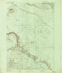
1892 · Bisuka
USGS Topo · 1:125,000
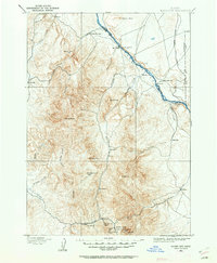
1892 · Silver City
USGS Topo · 1:125,000
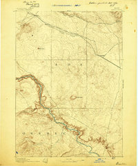
1894 · Bisuka
USGS Topo · 1:125,000
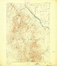
1894 · Silver City
USGS Topo · 1:125,000
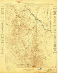
1898 · Silver City
USGS Topo · 1:125,000
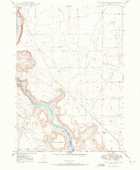
1947 · Wild Horse Butte
USGS Topo · 1:24,000
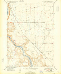
1948 · Wild Horse Butte
USGS Topo · 1:24,000
1948 · Sinker Butte
USGS Topo · 1:24,000
1949 · Sinker Butte
USGS Topo · 1:24,000
1949 · Oreana
USGS Topo · 1:62,500