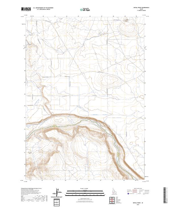
2023 Map of Initial Point
USGS Topo · Published 2023About this map
Initial Point stands as the central landmark of this Ada County landscape, marking the historic origin for all land surveys in Idaho. The terrain transitions from the high volcanic plateau down steep canyon walls toward the Snake River, which forms a prominent natural boundary in the southern portion of the sheet. This river corridor is home to Halverson Lake and the wide Con Shea Basin, illustrating the stark contrast between the arid desert highlands and the lush riparian zone at the canyon floor.
Find a feature on this map
25 named features on this map. Tap any name to fly to it.
Don’t see what you’re looking for? This feature index may not catch every label — zoom into the map to look around manually.
Map Details
Editions of this 2023 Initial Point Map
This is the sole edition of this map. No revisions or reprints were ever made.
Other maps of this area

1892 · Bisuka
USGS Topo · 1:125,000

1892 · Silver City
USGS Topo · 1:125,000

1894 · Bisuka
USGS Topo · 1:125,000

1894 · Silver City
USGS Topo · 1:125,000

1898 · Silver City
USGS Topo · 1:125,000

1947 · Wild Horse Butte
USGS Topo · 1:24,000

1948 · Wild Horse Butte
USGS Topo · 1:24,000

1948 · Sinker Butte
USGS Topo · 1:24,000

1949 · Sinker Butte
USGS Topo · 1:24,000

1949 · Oreana
USGS Topo · 1:62,500