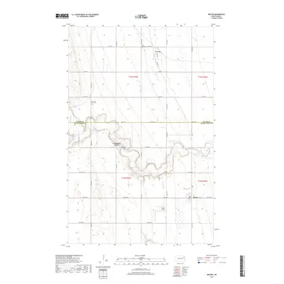
2017 Map of Inkster
USGS Topo · Published 2017About this map
The Forest River winds through the agricultural landscape of the Red River Valley, cutting a distinctive path between the settlements of Conway and Inkster. This portion of northeastern North Dakota is defined by its rural community centers and cemetery records, which serve as vital touchstones for family researchers. Notable landmarks include Saint Mark Cem near the northern boundary and the Forest River Colony, which maintains its own distinct footprint including the Forest River Colony Cem.
Find a feature on this map
36 named features on this map. Tap any name to fly to it.
Don’t see what you’re looking for? This feature index may not catch every label — zoom into the map to look around manually.
Map Details
Editions of this 2017 Inkster Map
This is the sole edition of this map. No revisions or reprints were ever made.
Other maps of this area

1952 · Thief River Falls
USGS Topo · 1:250,000

1956 · Thief River Falls
USGS Topo · 1:250,000

1957 · Thief River Falls
USGS Topo · 1:250,000

1963 · Orr
USGS Topo · 1:24,000

1963 · Inkster NE
USGS Topo · 1:24,000

1963 · Pleasant Valley
USGS Topo · 1:24,000

1963 · Fordville SE
USGS Topo · 1:24,000

1963 · Pisek
USGS Topo · 1:24,000

1963 · Veseleyville
USGS Topo · 1:24,000

1963 · Fordville
USGS Topo · 1:24,000