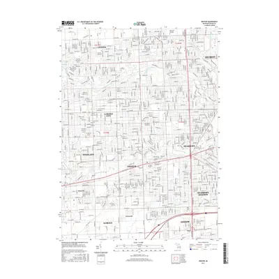
2017 Map of Inkster
USGS Topo · Published 2017About this map
Inkster and its surrounding suburbs in Wayne County appear here at a peak of late-twentieth-century development, where the grid of residential neighborhoods is defined by the winding corridors of the Middle River Rouge and Lower River Rouge. The area is characterized by a high concentration of established community landmarks, including numerous burial grounds like the Wallaceville Cem and Saint Hedwig Cem that serve as anchors for local genealogy.
Find a feature on this map
48 named features on this map. Tap any name to fly to it.
Don’t see what you’re looking for? This feature index may not catch every label — zoom into the map to look around manually.
Map Details
Editions of this 2017 Inkster Map
This is the sole edition of this map. No revisions or reprints were ever made.
Other maps of this area

1905 · Wayne
USGS Topo · 1:62,500

1905 · Detroit
USGS Topo · 1:62,500

1906 · Wyandotte
USGS Topo · 1:62,500

1906 · Romulus
USGS Topo · 1:62,500

1912 · Wyandotte
USGS Topo · 1:62,500

1912 · Wayne
USGS Topo · 1:62,500

1918 · Detroit
USGS Topo · 1:62,500

1924 · Detroit
USGS Topo · 1:62,500

1928 · Romulus
USGS Topo · 1:62,500

1929 · Wyandotte
USGS Topo · 1:62,500