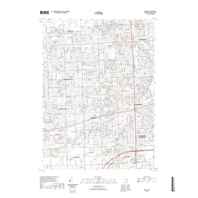
2019 Map of Inkster
USGS Topo · Published 2019About this map
Middle River Rouge and the Lower River Rouge wind through a dense urban landscape in this recent look at Wayne County. The map provides extensive detail for researchers focused on cemeteries, including the large Detroit Memorial Park West Cem and the smaller, historically significant Eloise Cem. This corridor between Dearborn and Wayne is defined by a heavy grid of major thoroughfares like Michigan Ave and Joy Rd, which cut across numerous municipal boundaries.
Find a feature on this map
55 named features on this map. Tap any name to fly to it.
Don’t see what you’re looking for? This feature index may not catch every label — zoom into the map to look around manually.
Map Details
Editions of this 2019 Inkster Map
This is the sole edition of this map. No revisions or reprints were ever made.
Other maps of this area

1905 · Wayne
USGS Topo · 1:62,500

1905 · Detroit
USGS Topo · 1:62,500

1906 · Wyandotte
USGS Topo · 1:62,500

1906 · Romulus
USGS Topo · 1:62,500

1912 · Wyandotte
USGS Topo · 1:62,500

1912 · Wayne
USGS Topo · 1:62,500

1918 · Detroit
USGS Topo · 1:62,500

1924 · Detroit
USGS Topo · 1:62,500

1928 · Romulus
USGS Topo · 1:62,500

1929 · Wyandotte
USGS Topo · 1:62,500