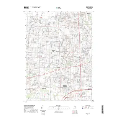
2023 Map of Inkster
USGS Topo · Published 2023About this map
The Middle River Rouge and Lower River Rouge dominate the suburban landscape of western Wayne County, winding through densely populated communities like Garden City and Inkster. This modern survey illustrates the complex drainage and civil infrastructure of the Detroit metropolitan area, including the Ashcroft-Sherwood Drain and Perrin Drain. The map is particularly valuable for genealogists, as it identifies numerous historic burial grounds such as Detroit Memorial Park West Cem and Saint Hedwig Cem. Older place names like Eloise, Ganong, and Wallaceville persist alongside the modern grid of Michigan Ave and Telegraph Rd, showing how earlier hamlets were absorbed into the expanding residential developments of Livonia and Westland. Significant parklands and green belts follow the river valleys, notably along Edward N Hines Dr, providing a distinct break in the suburban sprawl.
Find a feature on this map
51 named features on this map. Tap any name to fly to it.
Don’t see what you’re looking for? This feature index may not catch every label — zoom into the map to look around manually.
Map Details
Editions of this 2023 Inkster Map
This is the sole edition of this map. No revisions or reprints were ever made.
Other maps of this area

1905 · Wayne
USGS Topo · 1:62,500

1905 · Detroit
USGS Topo · 1:62,500

1906 · Wyandotte
USGS Topo · 1:62,500

1906 · Romulus
USGS Topo · 1:62,500

1912 · Wyandotte
USGS Topo · 1:62,500

1912 · Wayne
USGS Topo · 1:62,500

1918 · Detroit
USGS Topo · 1:62,500

1924 · Detroit
USGS Topo · 1:62,500

1928 · Romulus
USGS Topo · 1:62,500

1929 · Wyandotte
USGS Topo · 1:62,500