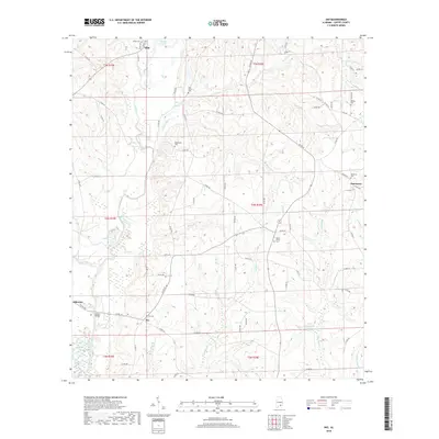
2018 Map of Ino
USGS Topo · Published 2018About this map
The Pea River winds through the northern reaches of this Coffee County landscape, serving as a geographic anchor for the surrounding rural communities. The map detail reflects a deeply rooted settlement pattern, anchored by the namesake crossroads of Ino and the nearby Damascus to the east. A network of county roads, such as Co RD 411 and Co RD 428, connects numerous family and community landmarks that are vital for local history research.
Find a feature on this map
86 named features on this map. Tap any name to fly to it.
Don’t see what you’re looking for? This feature index may not catch every label — zoom into the map to look around manually.
Map Details
Editions of this 2018 Ino Map
This is the sole edition of this map. No revisions or reprints were ever made.
Other maps of this area
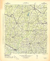
1942 · Enterprise
USGS Topo · 1:125,000
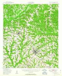
1950 · Enterprise
USGS Topo · 1:62,500
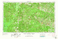
1953 · Andalusia
USGS Topo · 1:250,000
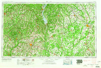
1953 · Dothan
USGS Topo · 1:250,000
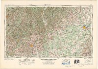
1954 · Dothan
USGS Topo · 1:250,000
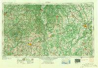
1955 · Dothan
USGS Topo · 1:250,000
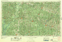
1957 · Andalusia
USGS Topo · 1:250,000
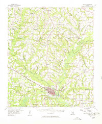
1957 · Geneva
USGS Topo · 1:62,500
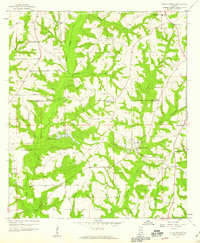
1957 · Coffee Springs
USGS Topo · 1:24,000
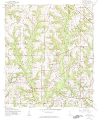
1960 · Goodman
USGS Topo · 1:24,000