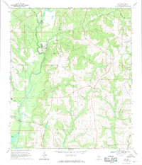
1968 Map of Ino
USGS Topo · Published 1970About this map
The Pea River winds through this Coffee County landscape, serving as a focal point for mid-century rural infrastructure and industry. In the late 1960s, the river supported the Elba Dam and its associated Powerplant, while providing a backdrop for the U S Military Reservation which featured a Landing Strip and Control Tower. The terrain is defined by a dense network of creek systems, including Wises Mill Creek and Tight Eye Creek, which drain the timbered uplands typical of southeastern Alabama.
Find a feature on this map
32 named features on this map. Tap any name to fly to it.
Don’t see what you’re looking for? This feature index may not catch every label — zoom into the map to look around manually.
Map Details
Editions of this 1968 Ino Map
2 editions found
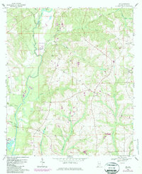
Other maps of this area

1942 · Enterprise
USGS Topo · 1:125,000

1950 · Enterprise
USGS Topo · 1:62,500

1953 · Andalusia
USGS Topo · 1:250,000

1953 · Dothan
USGS Topo · 1:250,000

1954 · Dothan
USGS Topo · 1:250,000

1955 · Dothan
USGS Topo · 1:250,000

1957 · Andalusia
USGS Topo · 1:250,000

1957 · Geneva
USGS Topo · 1:62,500
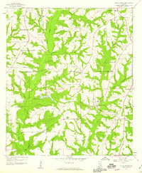
1957 · Coffee Springs
USGS Topo · 1:24,000
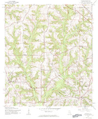
1960 · Goodman
USGS Topo · 1:24,000