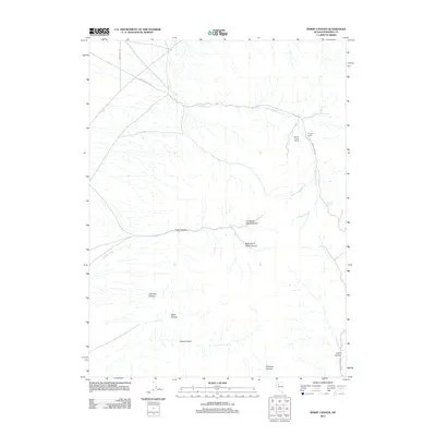
2011 Map of Inskip Canyon
USGS Topo · Published 2011About this map
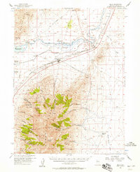
Willow Creek Ranch and Thacker Camp stand as the primary human outposts in this high-desert basin within Pershing County. The landscape is defined by a series of parallel drainages carving eastward through the terrain, most notably Inskip Canyon, which branches into its Left Hand and Right Hand forks. To the south, additional relief is provided by Johnson Canyon, Milch Canyon, and Reed Canyon, all eventually feeding toward the eastern edge of the quadrangle. Transport in this rural expanse relies on a sparse network of unpaved routes, including Willow Creek Rd and Leach Canyon Rd, which navigate the various springs and seasonal watercourses like Inskips Creek. The placement of Cherry Spring near the eastern margin suggests the vital importance of water points in this arid cattle-grazing or mining landscape.
Find a feature on this map
16 named features on this map. Tap any name to fly to it.
Don’t see what you’re looking for? This feature index may not catch every label — zoom into the map to look around manually.
Map Details
Editions of this 2011 Inskip Canyon Map
This is the sole edition of this map. No revisions or reprints were ever made.
Other maps of this area

1931 · Lovelock
USGS Topo · 1:250,000
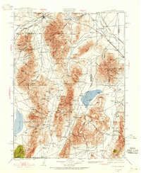
1932 · Sonoma Range
USGS Topo · 1:250,000

1935 · Lovelock
USGS Topo · 1:250,000
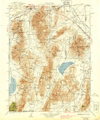
1939 · Sonoma Range
USGS Topo · 1:250,000
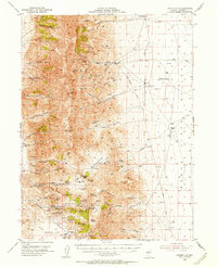
1954 · Unionville
USGS Topo · 1:62,500

1955 · Lovelock
USGS Topo · 1:250,000

1955 · Winnemucca
USGS Topo · 1:250,000
1956 · Imlay
USGS Topo · 1:62,500

1958 · Winnemucca
USGS Topo · 1:250,000

1959 · Lovelock
USGS Topo · 1:250,000