
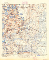
1916 Map of Interlachen
USGS Topo · Published 1916About this map
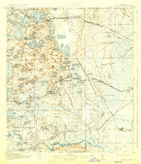
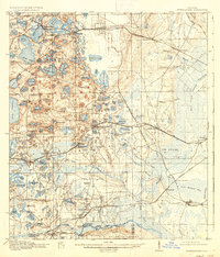
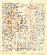
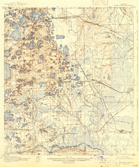
The lake-dotted interior of Putnam County is dominated by the town of Interlachen, a central junction point along the Atlantic Coast Line railroad. This 1915 survey reveals a landscape of alternating wetlands and sandy ridges, where dozens of isolated water bodies like Lake Grandin, Brantley Lake, and Cue Lake define the terrain. To the east, the geography transitions into the vast Rice Creek Swamp and a low-lying area known as The Slash, reflecting the complex drainage patterns of North Florida. Small settlements and local landmarks such as Florahome, Mannville, and the Roscola School are connected by a growing network of early motor roads, including the Palatka Georgia and Southern Road. Along the southern boundary, the map captures the edge of The Oklawaha Scrub and the community of Rodman, illustrating the early timber and turpentine era of the region before modern drainage and development.
Find a feature on this map
115 named features on this map. Tap any name to fly to it.
Don’t see what you’re looking for? This feature index may not catch every label — zoom into the map to look around manually.
Map Details
Editions of this 1916 Interlachen Map
6 editions found
Other maps of this area

1893 · Citra
USGS Topo · 1:62,500

1895 · Citra
USGS Topo · 1:62,500

1912 · Palatka
USGS Topo · 1:48,000

1915 · Palatka
USGS Topo · 1:62,500

1915 · Interlachen
USGS Topo · 1:48,000

1938 · Hawthorn
USGS Topo · 1:48,000

1941 · Starke
USGS Topo · 1:62,500

1942 · Ates Creek
USGS Topo · 1:62,500

1943 · Hawthorn
USGS Topo · 1:62,500

1944 · Interlachen
USGS Topo · 1:62,500