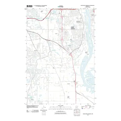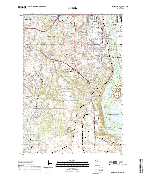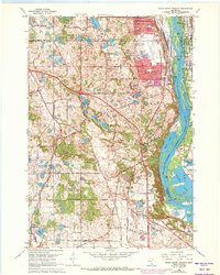
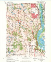
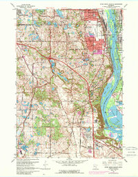
1967 Map of Inver Grove Heights
USGS Topo · Published 1973About this map
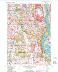
The Mississippi River corridor dominates this 1967 landscape, showcasing the post-war suburban and industrial evolution of Dakota and Washington counties. Centered on Inver Grove Heights, the map captures the transition from agricultural land to residential developments, highlighted by purple-tinted urban extensions around South St Paul. The river valley features a complex network of backwaters and islands, including Grey Cloud Island and Lower Grey Cloud Island, alongside established riparian industrial sites at Pine Bend and Roseport.
Find a feature on this map
44 named features on this map. Tap any name to fly to it.
Don’t see what you’re looking for? This feature index may not catch every label — zoom into the map to look around manually.
Map Details
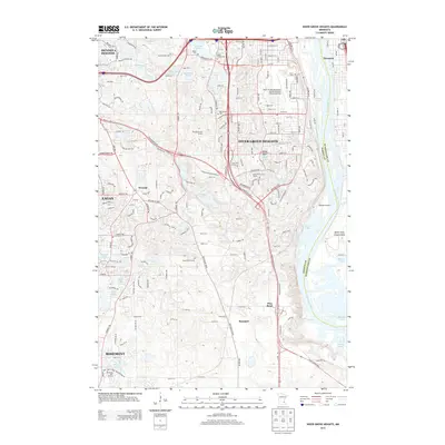
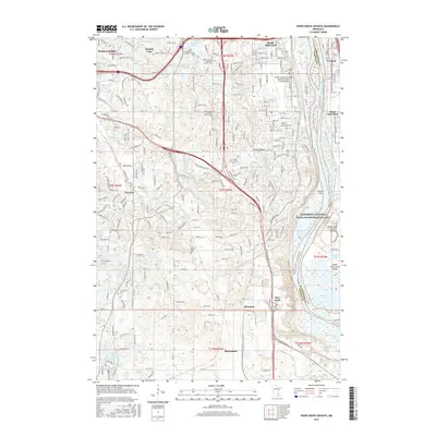
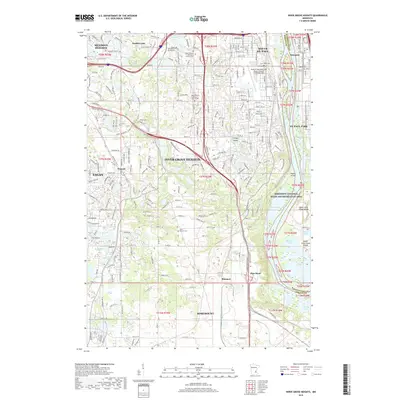
Editions of this 1967 Inver Grove Heights Map
4 editions found
Historical Maps of Eagan Through Time
6 maps found