
1954 Map of Inverness
USGS Topo · Published 1955About this map
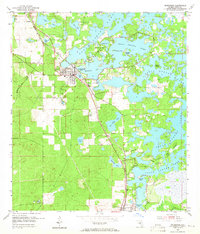
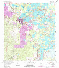
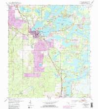
Inverness serves as the focal point of this mid-1950s survey, situated along the western edge of the intricate Tsala Apopka Lake chain. The landscape is defined by the complex intersection of land and water, where named islands such as Gospel Island and Pritchard Island emerge from a labyrinth of marshes and open water bodies like Henderson Lake and Magnolia Lake. The region's transport and industrial foundations are clearly visible, with the Seaboard Air Line and Atlantic Coast Line railroads converging near the town center. To the south, Floral City anchors a rural corridor marked by local landmarks like Dampier Cem and the Poor Farm Landing Field, while sites like the Hamburg Mine and various sand pits point to the area's extraction history during this era of Florida’s interior development.
Find a feature on this map
34 named features on this map. Tap any name to fly to it.
Don’t see what you’re looking for? This feature index may not catch every label — zoom into the map to look around manually.
Map Details
Editions of this 1954 Inverness Map
4 editions found
Other maps of this area

1893 · Panasoffkee
USGS Topo · 1:62,500

1895 · Tsala Apopka
USGS Topo · 1:62,500

1895 · Panasoffkee
USGS Topo · 1:62,500

1954 · Lecanto
USGS Topo · 1:24,000

1954 · Holder
USGS Topo · 1:24,000

1954 · Brooksville NW
USGS Topo · 1:24,000

1954 · Nobleton
USGS Topo · 1:24,000

1954 · Tsala Apopka NE
USGS Topo · 1:24,000

1954 · Inverness
USGS Topo · 1:62,500

1955 · Plant City
USGS Topo · 1:250,000