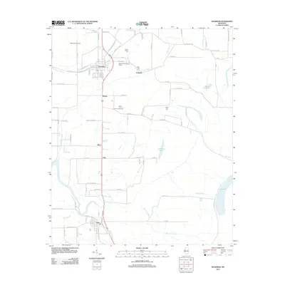
2012 Map of Inverness
USGS Topo · Published 2012About this map
Inverness serves as the primary hub in this portion of the Mississippi Delta, defined by a landscape of bayous and agricultural development. The town layout is clearly visible, with streets such as Pond Ave and E Grand Ave intersecting the north-south transport corridor. The surrounding countryside is dotted with smaller settlements and family-named landmarks including Bowles, Milroy, and Caile, while the southern portion of the sheet features the town of Isola.
Find a feature on this map
101 named features on this map. Tap any name to fly to it.
Don’t see what you’re looking for? This feature index may not catch every label — zoom into the map to look around manually.
Map Details
Editions of this 2012 Inverness Map
This is the sole edition of this map. No revisions or reprints were ever made.
Other maps of this area

1940 · Auter
USGS Topo · 1:62,500

1940 · Baird
USGS Topo · 1:62,500

1940 · Mileston
USGS Topo · 1:62,500

1953 · Greenwood
USGS Topo · 1:250,000

1954 · Mileston
USGS Topo · 1:62,500

1956 · Greenwood
USGS Topo · 1:250,000

1961 · Mossy Lake
USGS Topo · 1:62,500

1965 · Inverness
USGS Topo · 1:24,000

1965 · Indianola
USGS Topo · 1:24,000

1965 · Kinlock
USGS Topo · 1:24,000