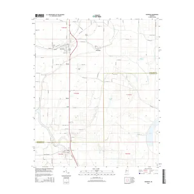
2015 Map of Inverness
USGS Topo · Published 2015About this map
Inverness and Isola anchor this Mississippi Delta landscape, where a dense network of country roads like Macon Lake Rd and Black Bayou Rd serves the region's agricultural interests. The terrain is defined by a intricate system of waterways, including the winding Mound Bayou, Short Bayou, and Beaver Dam Bayou, which highlight the natural drainage patterns of Sunflower and Humphreys counties. Local history is preserved in small settlements and family sites such as Milroy, Caile, and Bowles. For genealogists, the map identifies several local landmarks including Hickory Grove Cem, Mount Moriah Cem, and Holly Grove Cem. The presence of Lester Field and the central rail corridor demonstrate the ongoing connection between local transportation and the Delta's rural economy during this era.
Find a feature on this map
99 named features on this map. Tap any name to fly to it.
Don’t see what you’re looking for? This feature index may not catch every label — zoom into the map to look around manually.
Map Details
Editions of this 2015 Inverness Map
This is the sole edition of this map. No revisions or reprints were ever made.
Other maps of this area

1940 · Auter
USGS Topo · 1:62,500

1940 · Baird
USGS Topo · 1:62,500

1940 · Mileston
USGS Topo · 1:62,500

1953 · Greenwood
USGS Topo · 1:250,000

1954 · Mileston
USGS Topo · 1:62,500

1956 · Greenwood
USGS Topo · 1:250,000

1961 · Mossy Lake
USGS Topo · 1:62,500

1965 · Inverness
USGS Topo · 1:24,000

1965 · Indianola
USGS Topo · 1:24,000

1965 · Kinlock
USGS Topo · 1:24,000