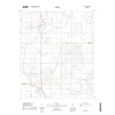
2018 Map of Inverness
USGS Topo · Published 2018About this map
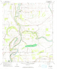
The town of Inverness serves as the focal point of this Delta landscape, situated along a network of agricultural roads and drainage bayous near the border of Sunflower and Humphreys counties. The town plan is clearly defined by residential streets like Pond Ave and Moore ST, while surrounding rural communities such as Caile, Bowles, and Isola are linked by thoroughfares including Old Hwy 49 W. This region is defined by its complex hydrology, where Mound Bayou and Beaver Dam Bayou wind through fields toward the expansive Sky Lake and its associated Sky Lake Swamp. Genealogists will find a high density of rural burial grounds, including Holly Grove Cem, Hickory Grove Cem, and Mount Moriah Cem, which serve as markers for the area's established farming heritage.
Find a feature on this map
90 named features on this map. Tap any name to fly to it.
Don’t see what you’re looking for? This feature index may not catch every label — zoom into the map to look around manually.
Map Details
Editions of this 2018 Inverness Map
This is the sole edition of this map. No revisions or reprints were ever made.
Other maps of this area
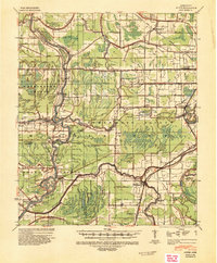
1940 · Auter
USGS Topo · 1:62,500
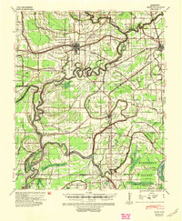
1940 · Baird
USGS Topo · 1:62,500
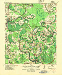
1940 · Mileston
USGS Topo · 1:62,500

1953 · Greenwood
USGS Topo · 1:250,000
1954 · Mileston
USGS Topo · 1:62,500

1956 · Greenwood
USGS Topo · 1:250,000
1961 · Mossy Lake
USGS Topo · 1:62,500
1965 · Inverness
USGS Topo · 1:24,000
1965 · Indianola
USGS Topo · 1:24,000
1965 · Kinlock
USGS Topo · 1:24,000